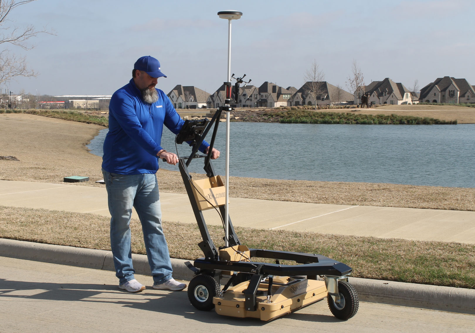
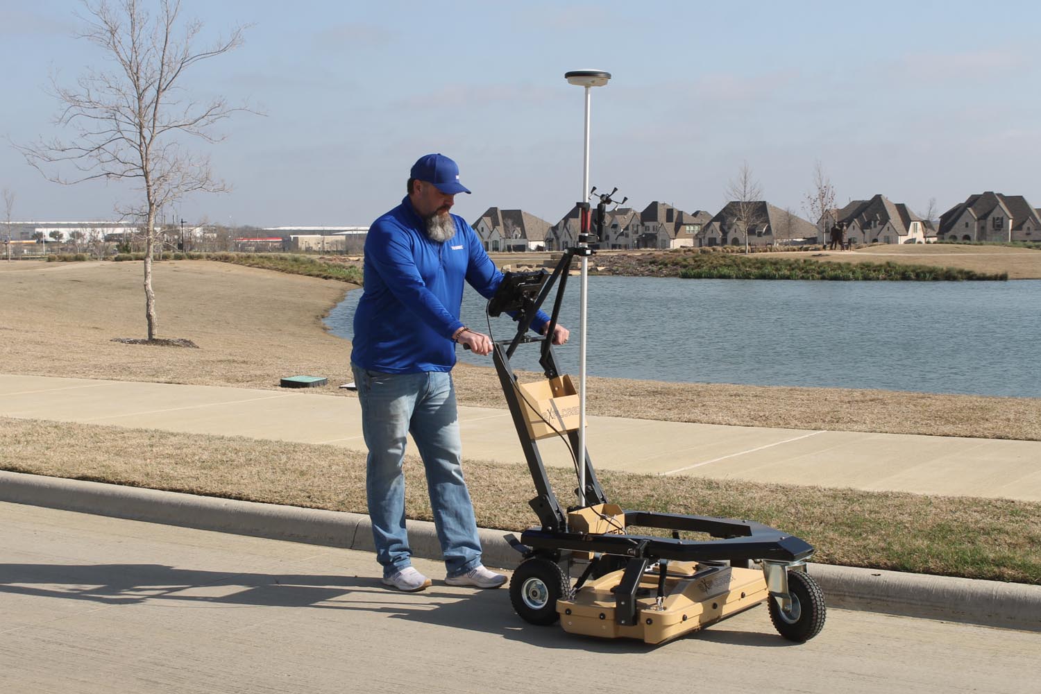
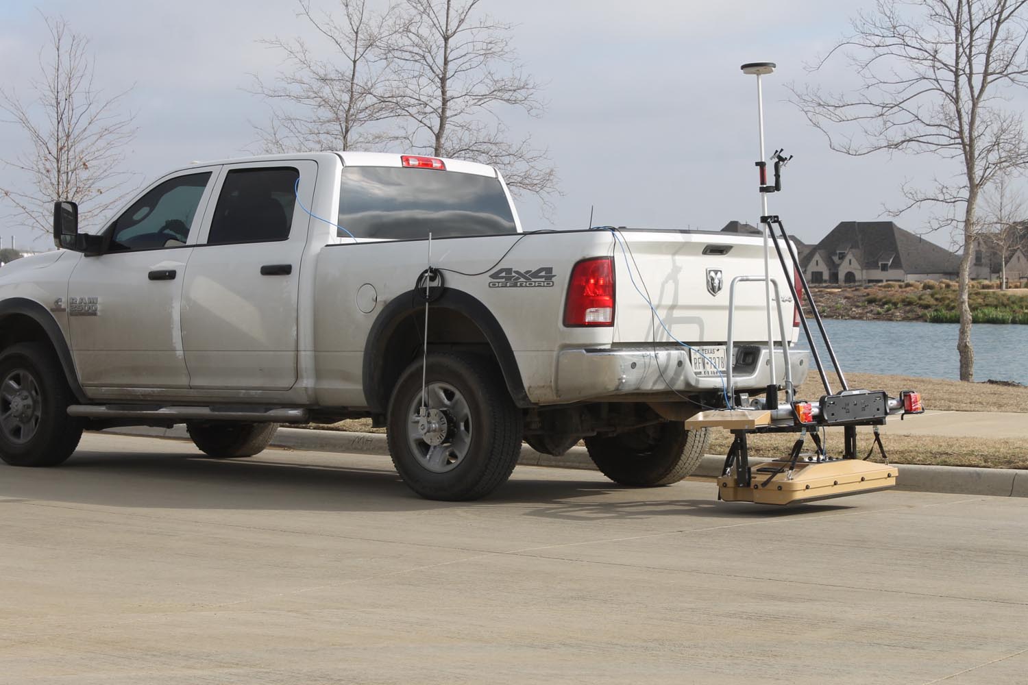
This ground penetrating radar detects underground utilities, abandoned lines and other anomalies that may not be recorded on any existing city drawings.
What happens when you have a utility strike?
Loss of money, loss of time, extra expense in repairs and paying for service interruption. Excavation damage could, by far, be the single largest expense. This radar is designed to help you work efficiently, saving money by ensuring the safety of trenching worksites.
• Multiple Applications – roadways to sidewalks
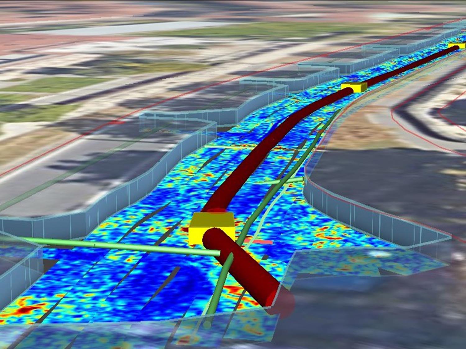
• Detection of all material, from Metals, concrete and plastics
• Precious results within 2 CM
• Delivered from 32 vice 3 to 5 acquisition channels
• Automatically generated As-Built capability
• Results in reduced work disruptions for your crews
• Google Maps integration
• GPS Integration
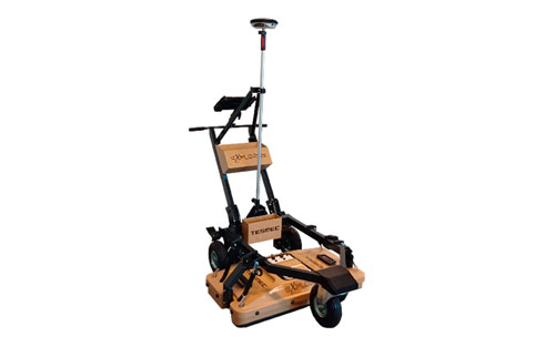
| SYSTEM SPECIFICATIONS | |
|---|---|
| Sensor frequency | 600 MHz |
| Weight | 92 pounds |
| Scan width | 32″ |
| Number of channel | 30 (19VV – 11HH) |
| VV channels spacing | 1.7″ |
| HH channels spacing | 2.9″ |
| Power consumption | |
| Aquisition | 19 W |
| Stand-by | 15 W |
| Max operating time | 8 hrs (can be extended) |
| Environmental | Waterproof |
| Max. acquisition speed | 8.7 mph |
| Positioning | Integrated Encoder and PPS |
| External GPS and TPS | |
| Certification | EC, FCC, IC |
| Recommended laptop | PANASONIC FZ – G2 |
| Temperature range | -4° F / 122° F |
| Scan step resolution | 1.5° |
